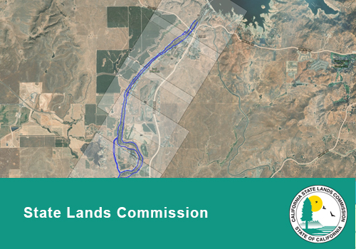
This WebMap was created to depict portions of state-owned Sovereign Lands that are under the jurisdiction of the California State Lands Commission. Data coverage is currently limited to reaches 1A, 4A and 4B1 of the San Joaquin River, other sections are pending survey or digitization. Attention is directed to the Metadata Sheet for further discussion of the state-owned lands included in this data.