-
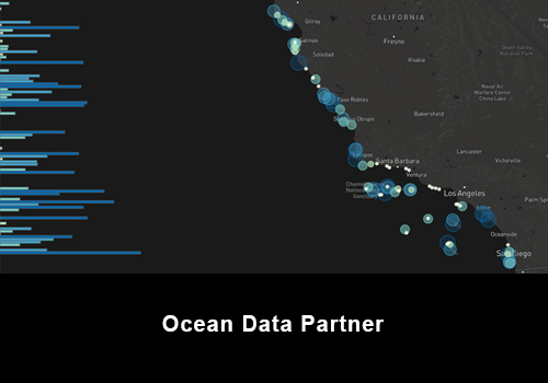
Pacific Rocky Intertidal
View Pacific Rocky Intertidal -
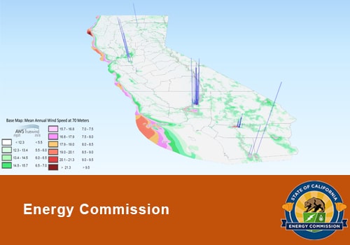
3-D Interactive Visualization of California Wind Generators
View 3-D Interactive Visualization of California Wind Generators -
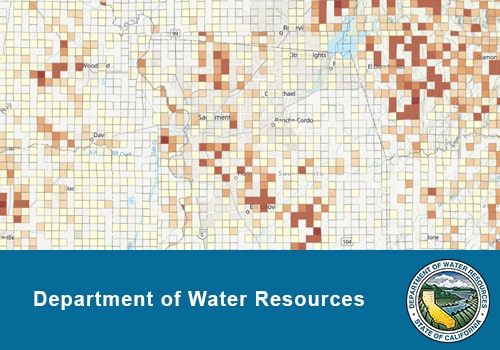
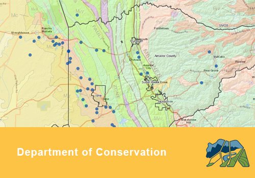
Well Completion Reports Map Application
View Well Completion Reports Map Application -
Sea Level Rise Viewer
View Sea Level Rise Viewer -
SGMA Data Viewer
View SGMA Data Viewer -
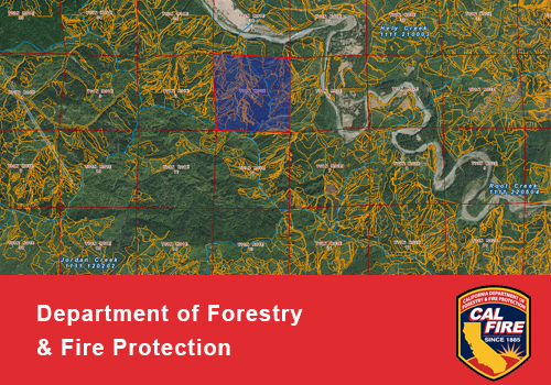
CAL FIRE Watershed Mapper
View CAL FIRE Watershed Mapper -
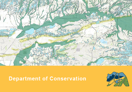
Earthquake Zones of Required Investigation
View Earthquake Zones of Required Investigation -
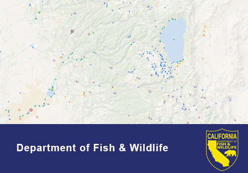
Well Finder
View Well Finder -
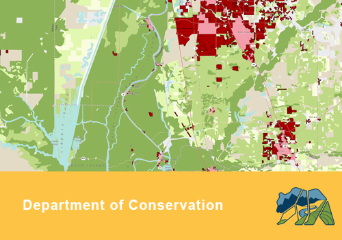
California Important Farmland - Time Series
View California Important Farmland - Time Series -
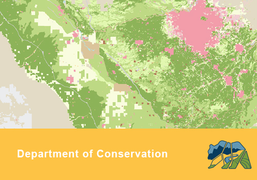
CA Important Farmland Finder
View CA Important Farmland Finder -
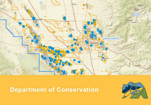
Mines Online
View Mines Online -
CDFW Fishing Guide
View CDFW Fishing Guide -
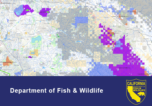
CDFW Lands Viewer
View CDFW Lands Viewer -
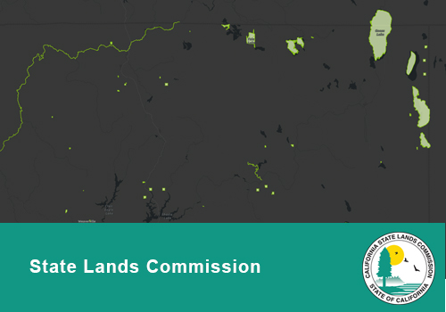
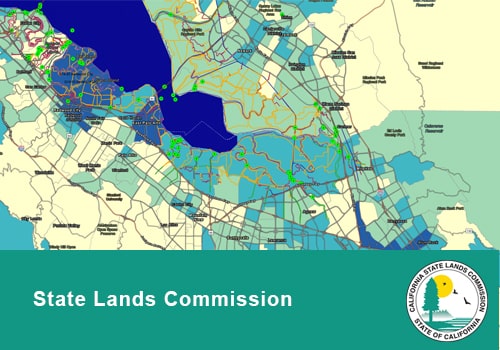
Significant Lands Viewer
View Significant Lands Viewer -
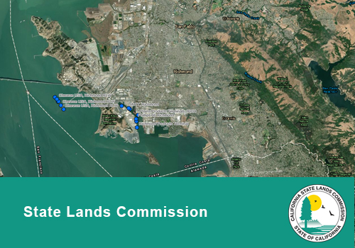
CA Marine Oil Terminals App
View CA Marine Oil Terminals App -
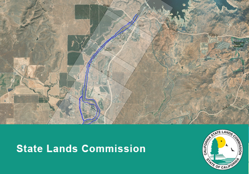
Administrative Maps of the San Joaquin River
View Administrative Maps of the San Joaquin River -
School Lands Viewer
View School Lands Viewer -
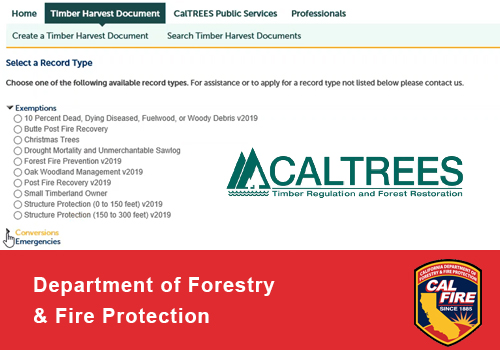
CalTREES
View CalTREES -
CDFW Biogeographic Information and Observation System (BIOS)
View CDFW Biogeographic Information and Observation System (BIOS) -
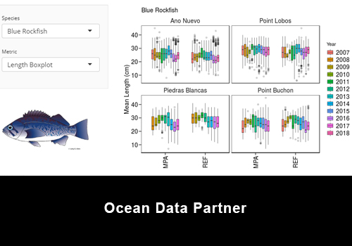
CCFRP Interactive Data App
View CCFRP Interactive Data App -
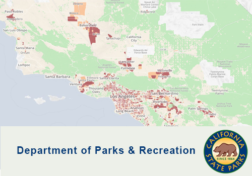
Measuring Park Access For All Californians
View Measuring Park Access For All Californians -
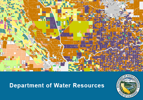
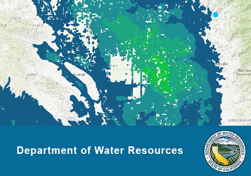
CA DWR Land Use Viewer
View CA DWR Land Use Viewer -
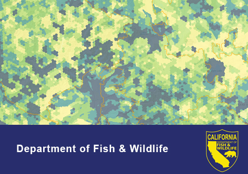
Areas of Conservation Emphasis (ACE)
View Areas of Conservation Emphasis (ACE) -
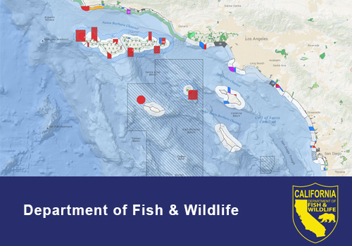
MarineBIOS
View MarineBIOS -
Water Data Library Station Map
View Water Data Library Station Map