Where do Californians need more parks? That’s a crucial question when it comes to distributing federal and state money among the hundreds of jurisdictions that serve communities across the state.
The California Department of Parks and Recreation's Office of Grants and Local Services (OGALS) administers grants to cities, counties, and agencies using federal and state funds.
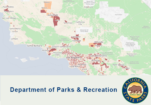
To qualify for certain federal funds, states create Comprehensive Outdoor Recreation Plans. For its most recent plan, California took an innovative approach and from the onset worked to ensure funds were distributed equitably. In collaboration with GreenInfo Network, OGALS used robust data, GIS analyses, and custom web-based tools to allow anyone to assess park need across the state.
The Park Access tool is driven by park data from the California Protected Areas Database (CPAD) and demographics from the American Community Survey. With CPAD’s inventory of 14,000 parks, OGALS could confidently assess how well California communities were being served by parks. The Park Access tool measures whether there are parks within a half-mile of any location, and the degree to which local areas have at least three acres of parkland per 1,000 people.