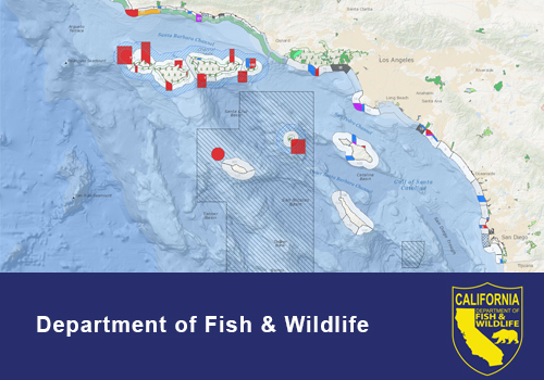
The California Department of Fish and Wildlife offers an interactive map for referencing relevant marine resource planning data. This tool, which is built on the latest version of BIOS, is a great place for looking up the boundaries and regulations of marine protected areas or investigating the attributes of benthic and intertidal habitat information. The following public map services (online content for GIS users) are pre-loaded in the map viewer:
* Points of Interest
* Managed Areas
* Habitats
* Geographic References
In addition to the data listed above, users may add external data services for use within the map viewer. More information can be found here: https://www.wildlife.ca.gov/Conservation/Marine/GIS/MarineBIOS.